By Emily Hardman, Blue Belt Programme Anguilla Lead, Marine Management Organisation and Melissa Meade, Principal Assistant Secretary, Ministry of Sustainability, Innovation and the Environment, Government of Anguilla.

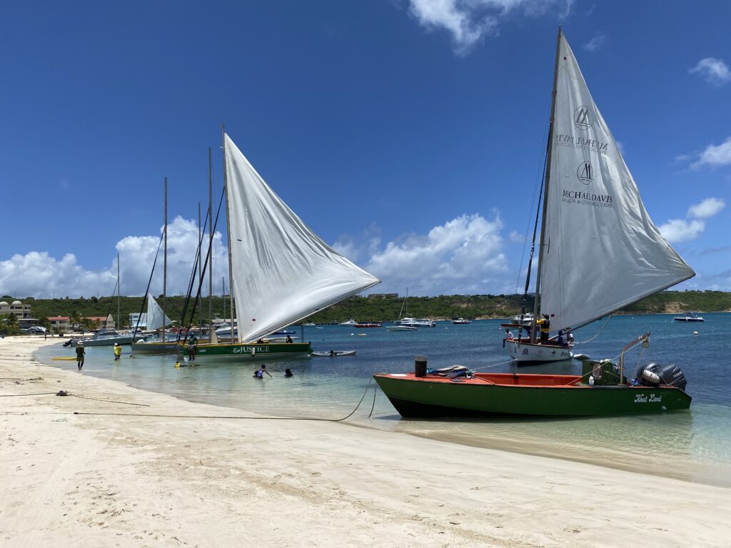
In February 2023, Anguilla joined the Blue Belt Programme as the second UK Overseas Territory from the Caribbean region. With almost 84,000km2 of ocean territory, the waters around Anguilla are integral to the island’s economy, providing the foundation for key sectors such as tourism, fishing, and water sports. Pristine beaches and marine biodiversity attract global visitors, making tourism a critical industry. The sea also supports local livelihoods through fishing and recreational activities like diving and snorkelling. As such, the waters around Anguilla are a valuable resource for achieving sustainable economic development, bringing positive benefits for both people and the environment. However, Anguilla’s marine environment faces several challenges, including the impacts of climate change, overfishing, pollution, and coastal development, all of which threaten the sustainability of these resources.
Marine spatial planning (MSP) is a process that brings together multiple users of the ocean – including energy, industry, government, conservation and recreation – to make informed and coordinated decisions about how to use marine resources sustainably. MSP helps to create a more comprehensive picture of a marine area – identifying where and how an ocean area is being used and what natural resources and habitat exist.
MSP provides an opportunity for Anguilla to maximise its potential for economic development while protecting the marine environment and generating social benefits. Delivered effectively, MSP will ensure the sustainable use of marine resources by balancing competing interests such as tourism, fishing, and conservation. It ensures that the right activities are developed in the right place and in the right way, helping to avoid conflicts between different activities, reducing impacts to marine habitats and wildlife, and providing benefits to local communities. MSP will also enhance the island’s resilience to climate change by safeguarding coral reefs and mangroves that act as natural buffers. By identifying key areas for protection and managing economic activities like fishing and shipping, MSP will foster economic stability and ensure that Anguilla’s marine ecosystems remain healthy and productive for future generations.
To support these ambitions, the Government of Anguilla requested assistance from the Blue Belt Programme to develop a marine spatial plan.
Developing a roadmap for MSP
Between September 2023 and March 2024, the Blue Belt team worked with Government of Anguilla to develop an MSP roadmap. This sets out the different steps needed and a timeline for establishing a marine spatial plan in Anguilla. They also started to collate the evidence needed to inform the marine spatial plan. This includes information about the different habitats and species found within Anguilla’s marine area. It also includes information about how the area is used by the local population: what takes place where and when.
Stakeholder workshops
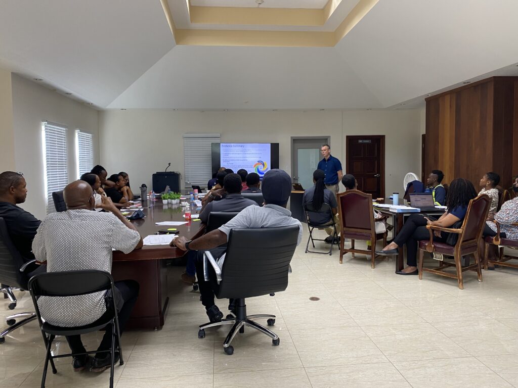
In July this year, the team assisted Government of Anguilla to run a series of stakeholder workshops to introduce the concept of MSP and raise awareness of the process and how it can benefit Anguilla. The workshops also provided an opportunity for stakeholders to contribute and understand how they can be involved throughout the process.
Five stakeholder workshops were attended by 41 people from across Government of Anguilla, non-governmental organisations, the tourism sector, industry and marine resource users (dive and tour operators, ferry boat operators and water sports businesses).

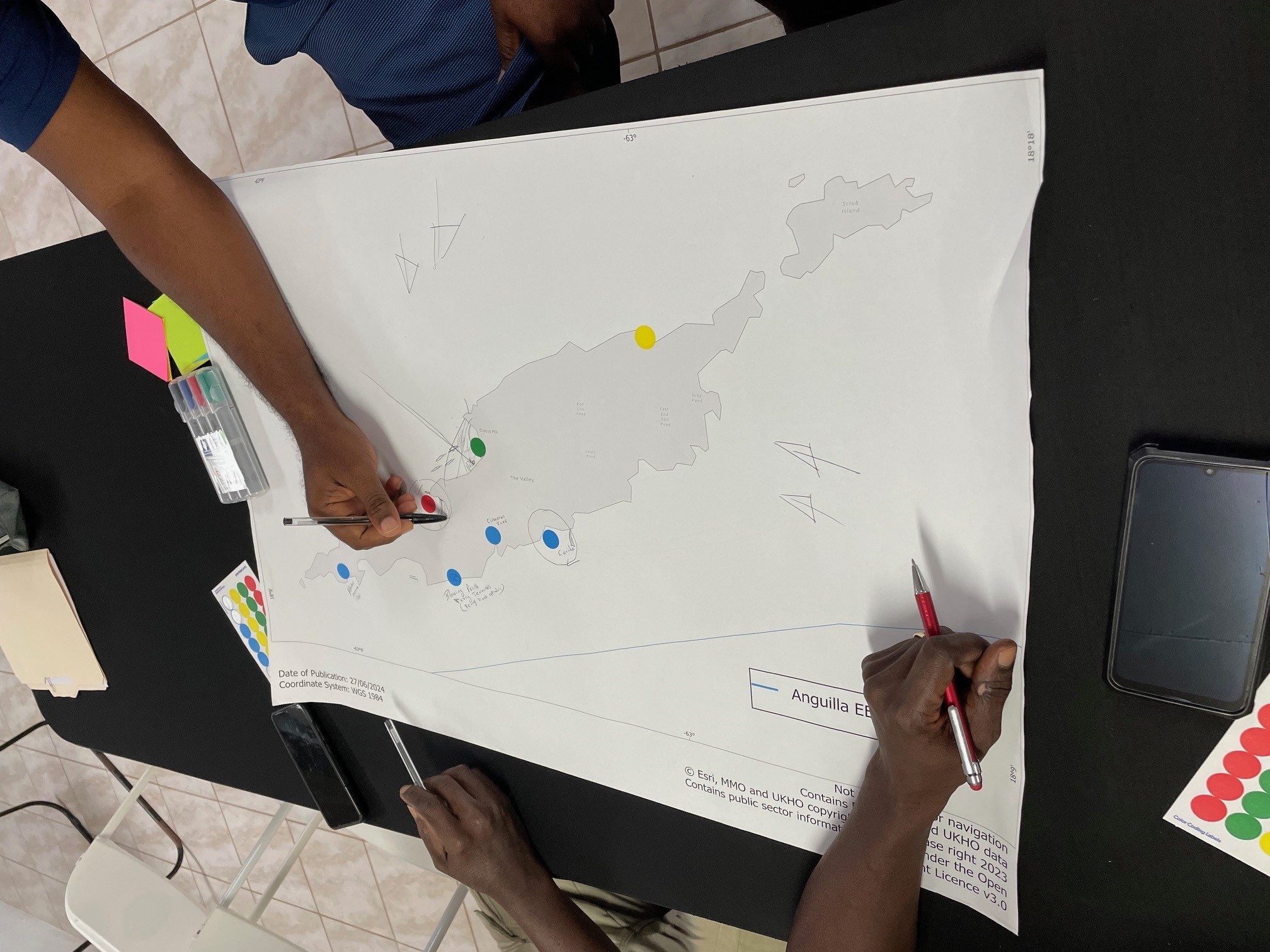
The workshops provided an opprotunity to hear what stakeholders hope MSP could achieve in Anguilla. Potential options for a high-level vision for the marine spatial plan were also discussed with government stakeholders. Workshop participants highlighted data (for example, where key marine habitats and species occur and how the marine area is used) they hold that could inform the MSP process and also identified additional stakeholders who should be involved. Participatory mapping was undertaken during four of the workshops. Participants marked on maps where different activities currently occur in Anguilla’s marine and coastal zone and areas where there are conflicts between these activities. The workshops also discussed the possible locations for a pilot study to allow MSP principles to be tested and applied to address the issues in the chosen area. The lessons learnt from this pilot study will then be used to prepare the marine spatial plan for Anguilla in subsequent years.
Feedback from workshops attendees highlighted that everyone felt that their knowledge of MSP had increased, and that they had been able to share their ideas through the engagement. The majority of participants felt that they understood how they could contribute to the development of a marine spatial plan in Anguilla.
“Looking forward to the follow-up and implementation phase” – feedback from a workshop participant

Next Steps
The stakeholder workshops provided a wealth of information that is being used to inform the next steps of the process. The Blue Belt Programme will continue to work with Government of Anguilla over the rest of the year to:
- Build the evidence base to inform the MSP process
- Define the vision and goals: what it’s hoped MSP will achieve for Anguilla in the long-term
- Take forward the pilot project
With funding from the Blue Belt Programme, Government of Anguilla is now recruiting a Marine Spatial Planning Coordinator. This will ensure that the marine spatial planning process is fully embedded across the government and enable successful delivery of the pilot project. Through continued stakeholder engagement and collaboration, Anguilla can address current environmental challenges and secure the long-term health of its marine environment.
Leave a comment